The Role of Local Communities in Sustainable Resource Management
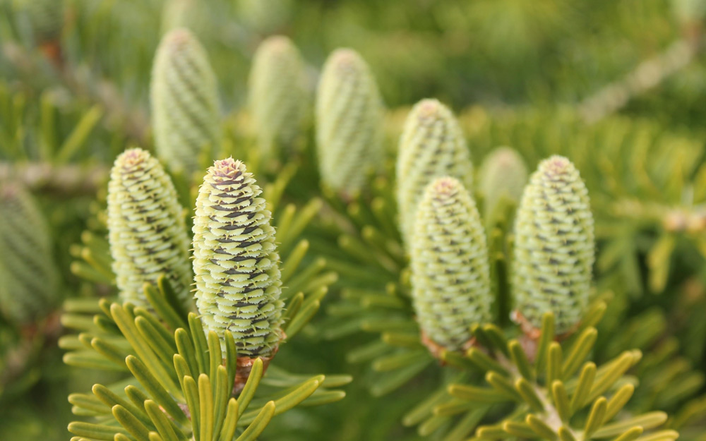
The first memory I have of pinus radiata was as a young boy, with the smell of Christmas trees. That piney aroma would fill the house along with the anticipated excitement of the opening of gifts thereunder.
As a teenage apprentice carpenter, I learnt about the strength and versatility of NZ-grown Monterey Pine, especially after our Forestry Research Institute followed up with our forest service to bring us trees measured by ‘growth factor’, not quite genetically modified but ‘tissue grafted’ to produce ‘super trees’ super fast. Due to many factors such as humidity, volcanic soil, sunshine hours (ha! sometimes), and old kauri forest peat, we here on the Coromandel grow trees incredibly fast, possibly faster than anywhere else.
The problem with these super trees is they create a monoculture where the only thing that grows under or with them is one species of red spotted toadstool. Another problem is that the composition of our soils creates more foliar growth than root growth, so they blow down. That is one reason some people who know about such things advocate for a thing called a ‘riparian margin’, which is a strip of land on either side of a stream, river or watershed that is simply left alone, preferably covered in biodiverse indigenous bush. These strips create an immeasurable advantage for the environmental ecology of the surrounding area.

If the stream flows through farmland, an adequate riparian margin will filter agrochemicals and excess nitrogen (from unsustainable farming practices) that otherwise will run into our oceans.
If the stream flows through commercial pine forests, an adequate riparian margin will prevent loss of topsoil and siltation downstream, plus preventing slash (branches, unwanted logs and stumps) from causing dams, flooding and major destruction.
All riparians planted or left as native bush will keep the stream cooler, so aquatic life increases and the water becomes more alkaline. Corridors are created for flora and fauna to travel to and from larger tracts of native bush.
In 2006, I witnessed the result of ignoring this vital principle when a culvert under the Hikuai Settlement road (just before Pauanui) was washed 300 metres away from the road, leaving a 3-metre-deep trench in the roadway. I was on the Tairua/Pauanui Community Board at the time and also worked as a logging contractor (that Christmas smell every day).
I applied for the resource consent for that area and waded through pages of jargon to find that the consent was produced by forest corporation Carter Holt Harvey and then rubber-stamped by the Waikato Regional Council. The basic riparian was only 5m; however, because of certain environmental values such as a clear water stream waterfall and the presence of kiwi and Archie’s frog they had the idea to make it 10m in that specific valley. Only when I went to view this, they had previously planted pines right up to the stream bed. It had been logged with the loggers stopping 50m from the road; two of these last pines had then blown over blocking the stream and most of the slash left on the bank had washed down and been caught by the fallen trees and created the dam that caused the washout. While there, I noticed already planters had again planted Pinus radiata right up to the waterway. Not only are the resource consent margins inadequate, no one polices them anyway.
For three years after this, a group of us petitioned the Waikato Regional Council to at least enforce their own resource consent to change the rules and increase the margins up to 30m, and in some steep areas to keep pine forests out altogether. We were told that the margins don’t work, and if they increased them the commercial forest would become ‘uneconomic’.
If you ever travel from Tairua to Whenuakite, you will notice Graham’s stream. This is a floodplain; residents living on the edge tried for many years to have the two authorities take action regarding the flooding that frequently occurred after a causeway was built on Manaia road in the 1970s by the local council. Finally, millions of dollars were spent, first installing bigger culvert pipes under the causeway, then earthworks and planting of riparians in the floodplain.
The Waikato Regional Council planted native riparians here, which are about 2m wide. Perhaps that is why the fluoro-coated, clipboard-toting bureaucrats think they don’t work.
Drive a bit further on and you will notice a big copse of dead pines in amongst the Whenuakite indigenous forest. This started as an ill-fated experiment first by the NZ Forest Service, later taken over by the Dept of Conservation. Some bright spark thought if they crushed the biodiverse native bush and interplanted pinus radiata with kauri trees, the competition would create a kauri forest quickly. Instead, the pines smothered the kauri (duh).
In the early 1990s, we offered to log the pines and remove weeds until the native bush grew back. We were told NO as this is still an ongoing experiment. Now they have dumped toxic chemicals on them by helicopter and we get to see a dead forest for 30+ years. Not to mention what that does to the microbiome.
Our primary industries of forestry and farming are killing our beautiful Aotearoa. The central Regional authorities used to be called catchment boards and their main role was to look after our water. Now it seems their main role is to drive around in new sign-written utes issuing glossy pamphlets and decrees from on high, not taking action and preventing hard-working local savvy Kiwis from helping their own community.
So what can we do? If you see our local MP or anyone from Waikato Regional Council, tell them to forget about pulling out mangroves and to PLANT RIPARIAN MARGINS.
If there is one stream in your neighbourhood that has just grass or weeds on its banks, throw on some manuka/kanuka seeds or even plant some harakeke. The birds will do the rest, mother Gaia will be filled with gratitude and your mokopuna may be able to know the joy of swimming in clear, unpolluted water …
– Words by Roger Wood


