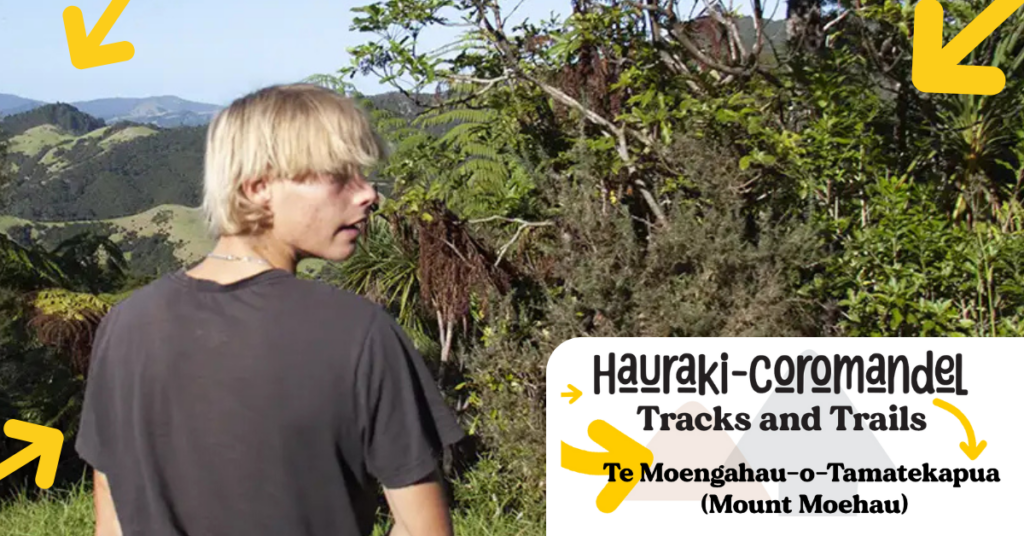
Te Moengahau-o-Tamatekapua (Mount Moehau)
Kia ora. My name is Connor de Gier, and this is my story. I was born in Auckland and lived there until moving to the Coromandel in 2021. I am 17 years old and have now developed a love for nature and exploring anywhere my legs can take me. I only just started hiking and adventuring this year. Welcome to my series for Coromind magazine on my favourite Coromandel tracks!
Track #2: Achieving a bucket list dream – Te Moengahau-o-Tamatekapua (Mount Moehau)
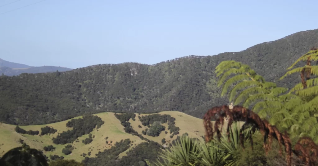
Mt Moehau is an incredible mountain located at the northern end of the Coromandel, in the range which extends from the settlement of Colville northwards to the tip of the peninsula.
Mt Moehau is also known as Te Moengahau-o-Tamatekapua (‘the windy sleeping place of Tama-te-kapua’) who was the commander of the Te Arawa canoe, and was buried on the summit of the mountain. His grandson, Huarere, gave his name to the tribe Ngāti Huarere.
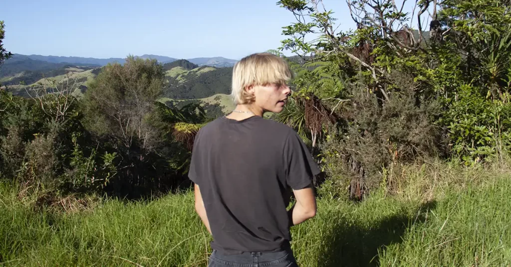
Mt Moehau stands as the tallest mountain in the Coromandel at 892m above sea level. The summit is sacred to the collective Marutūāhu iwi, and for this reason, reaching it isn’t possible, so please respect the mountain and its boundaries. You can still reach the saddle at 835 metres though, via Doctors Knob track.
The view from the saddle is breathtaking. Walking via Doctors Knob track can take 4-6 hours return, but people with a higher fitness level might complete it quicker.
Mt Moehau is an important home for the tiny rare Archey’s and Hochstetter’s frogs. The trail starts at Stony Bay, at the back part of its campsite. The route is steep and narrow, so proper hiking shoes are recommended.
My friends and I hiked Mt Moehau on a stunning clear Saturday at the end of April 2024. We were so excited, just thinking about being at the top of the highest point in the Coromandel!
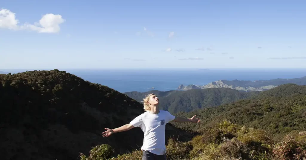
The drive from Whitianga to Stony Bay took 2 hours, and we arrived at 10 am. We quickly set up our tent at the campground, and after 20 minutes of trying to find the start of the track, some people in the campground helped by giving us a map, so we officially started the track around 11 am. It was a late start, however we were prepared if night fell.
Walking through the first quarter of the track was quite steady and okay-conditioned terrain. The slope of the track was steady, flattish, with some incline. After stopping for lunch, we continued towards the slope of the mountain, where the track got steeper and steeper the higher we went up! We didn’t have trekking poles, however we found some sticks that greatly helped.
The path to Doctors Knob (altitude of 600 metres) was quite steep, but after that, it eased off, giving our legs a bit of a break. The higher we inclined, the colder the air felt, so I highly recommend bringing good quality clothing like fleece, gloves, beanie and (depending on weather conditions and season) long or short pants.
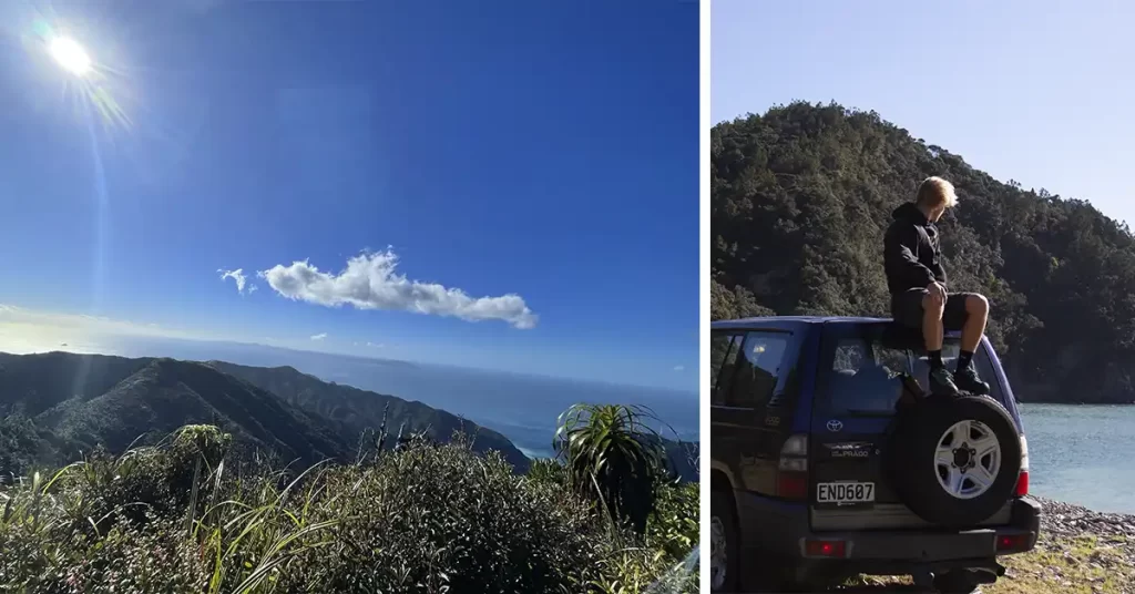
Once we were a good 100 metres from the saddle, the views already seemed amazing. But the last part of the hike was an absolute nightmare!
We had to make a turn-off so we could get down to the saddle, and that track was very muddy and slippery. We clung to the trees for assistance as we slowly and steadily descended. We slipped over countless times, but that provided a few laughs. As we reached the bottom of that part of the track, all of our excitement erupted as we ran the last 20 metres up to the lookout of the saddle.
“We slipped over countless times, but that provided a few laughs”.
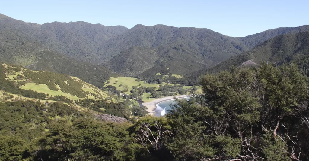
Dopamine filled our brains and the sense of accomplishment was truly something! The views were worth every muddy slip. I was truly in disbelief when I looked in Auckland’s direction and realised I could see the city and the Sky Tower. From looking down at Stony Bay to seeing the horizon, everything was beautiful up there.
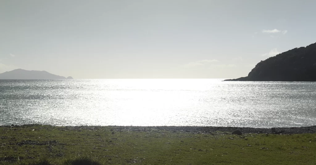
This experience is something I will always remember and I highly recommend this hike!
Tips:
- Plan your day appropriately and make sure all your timing is good.
- Bring plenty of water.
- Nuts and muesli bars are a really easy and nutritious way to fuel yourself when hiking.
- Prepare for muddy conditions and cold temperatures.
- Trekking poles and a head torch can be useful
Area: Coromandel Forest Park
Distance: 4.04 km
Grade: Moderate
Access: From Stony Bay, Te Hope Stream or Port Jackson
Map: AZ34
Note: Mt Moehau via Doctors Knob Track, Coromandel Forest Park
Words by Connor de Gier
Coromind: Coromandel’s Collaborative Magazine

Help us take Coromind Magazine to new heights by becoming a member. Click here
Change the Weather for Your Business: Advertise with Us.
Advertise your business in the whole Hauraki Coromandel in the coolest Coromandel Art Magazine, from Waihi Beach/Paeroa /Thames up to the Great Barrier Island.
Advertise Smarter, Not Harder: Get in Touch


